Confirm what Iowa has on file first, then use Clayton County's official election channels below.

Check my registration with Scan Check Protect Use the official Iowa lookup

About Clayton County

Clayton County is a county located in the U.S. state of Iowa. As of the 2020 census, the population was 17,043, and was estimated to be 16,845 in 2025. The county seat is Elkader and the largest city is Guttenberg.

Description adapted from Wikipedia, CC BY-SA 4.0.

Clayton County, Iowa
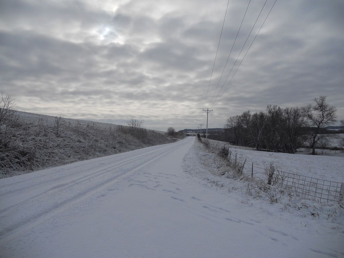
Snow on road, Clayton County, Iowa — CC BY-SA 3.0, Jsayre64 · source

History of Clayton County

The county was formed on December 21, 1837, and was named in honor of John M. Clayton, United States Senator from Delaware and later Secretary of State under President Zachary Taylor.

Adapted from Wikipedia, CC BY-SA 4.0.

Clayton County at a glance

County seat
Elkader
Population
17,043 (2020)
Land area
793 sq mi
Founded
1837

Largest communities in Clayton County

  1. Jefferson Township 2,478
  2. Monona Township 2,154
  3. Guttenberg 1,817
  4. Mendon Township 1,678
  5. Boardman Township 1,576

Start here

Confirm you're ready to vote in Clayton County

  1. Run a guided check

    Scan Check Protect walks you through verifying your Iowa registration and flags anything that needs fixing — free.

    Start at Scan Check Protect →

  2. Ask Clayton County directly

    Your county election office handles registration, mail ballots, and polling places.

    Clayton County election office →

Official channels

Clayton County election resources

Statewide tools and every Iowa resource in one place: the Iowa page at Scan Check Protect →

Neighboring counties

Part of Iowa Voter Check

This is the Clayton County page of Iowa Voter Check, a project of True the Vote, pointing Iowa voters at the official tools that already exist — and at Scan Check Protect to verify your registration.

Where anything here differs from what Clayton County or the Iowa Secretary of State publishes, they are right and this page is not.